History
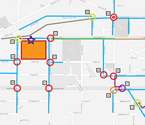 This project started some years back in conjunction with Nelson City Council with the idea of creating maps for people who wish to cycle that would help them find the best root from A to B. The idea was to focus on safety rather than distance/speed and the maps therefore looked primarily at junctions. The primary target was school children and the original map was in printed form and in the style of a game. The idea of the game was to find the route which would leave you with the most points at the end from an initial point value. Each junction was negatively marked with a value based on how dangerous that junction was perceived to be.
However, one of the problems with the printed maps was that it was difficult to display the level of detail required for cycle maps and also cover the distances that some children traveled. The plan was therefore to eventually create an on-line version. With the popularity of mobile devices it became apparent that the idea could go one step further and be incorporated into a mobile application. Eventually work began on the Active Transport Toolkit.
While the Active Transport Toolkit builds on ideas from the original project, the technology that is now available, literally in the palm of your hand, has allowed us to go far beyond that original concept.
Currently the application is very much a Beta version with some functionality yet to be added or is disabled at this stage while we do further testing, but it already provides some very useful features so we thought it was time to release a version and see what people think.
Unfortunately the app is currently only available for Android but don't worry, an iOS version will follow soon.